Exploring London on Foot: A Comprehensive Guide to the Capital’s Premier Walking Routes
Article Editorial Team
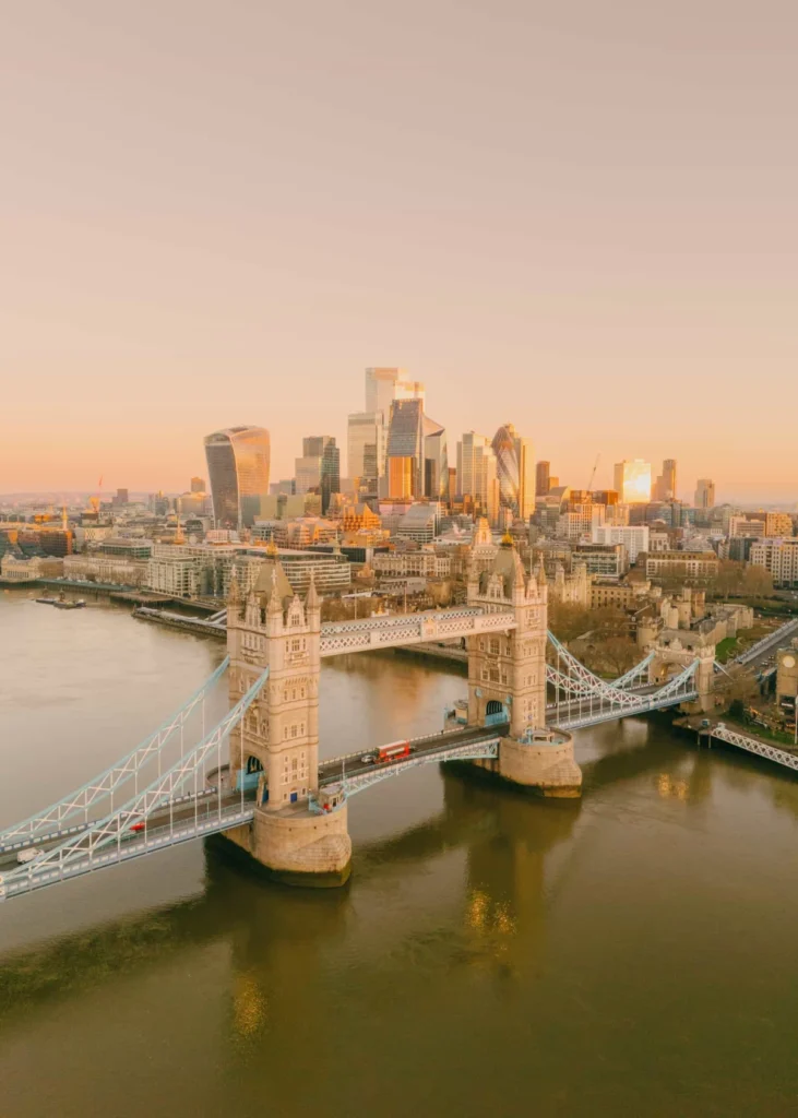
London is widely celebrated as an exceptional city to both visit and inhabit, offering an abundance of world-class attractions, historic royal palaces, vibrant neighborhoods, and iconic central landmarks. While the British capital provides various modes of public transit, experiencing the city on foot remains one of the most rewarding ways to absorb its unique character and atmosphere. Navigating the streets at a pedestrian pace allows travelers to fully appreciate the architecture, culture, and rhythm of the metropolis, while making spontaneous stops for local cuisine, coffee, or a traditional drink along the way.
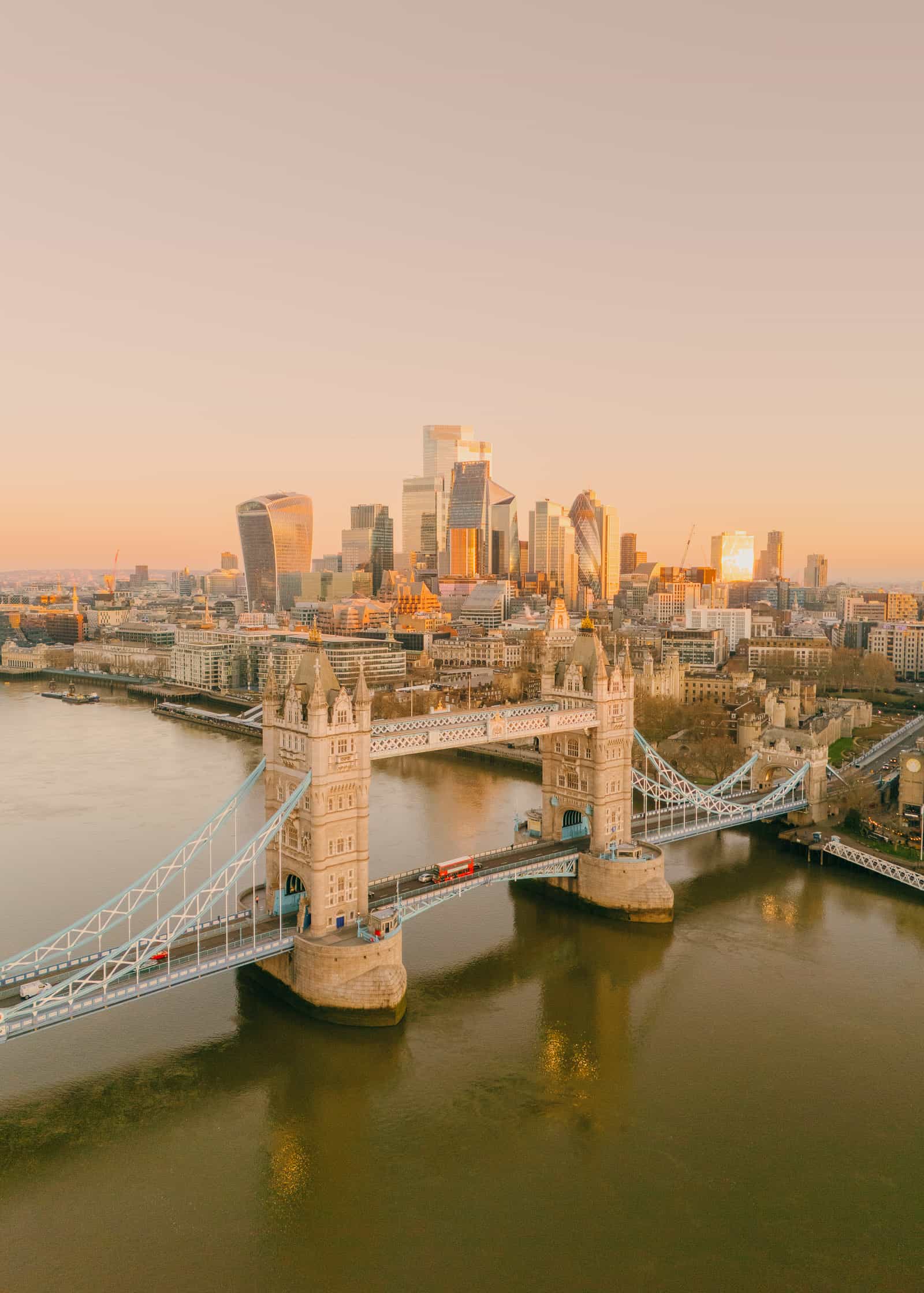
Over years of exploring the capital, urban walkers have mapped out numerous routes that showcase the city’s finest features. To help visitors and locals maximize their time, several premier walking itineraries have been compiled, ranging from central landmark circuits to serene canal paths and expansive green trails.

1. The Landmark Route and Central Itineraries
London features numerous established walking routes designed to highlight the capital’s top sights, but specialized itineraries offer a comprehensive view of the city’s most famous locations. Free digital mapping resources, such as curated Google Maps lists, enable visitors to follow these paths without cost or obligation to complete every mile in a single session. Given the physical demands of these extensive walks, travelers are encouraged to tackle specific sections based on the particular district they are exploring.

A classic central route begins in West London at Kensington Palace, one of the capital’s most prestigious royal residences. From there, walkers can take a brief stroll through Hyde Park toward the Albert Memorial and the renowned Royal Albert Hall. This historic venue offers advance-booked tours as well as evening performances. A short five-minute walk further leads to the Natural History Museum and the Victoria and Albert Museum in South Kensington, vast cultural institutions where visitors can easily spend an entire day.

Continuing eastward, the path passes the iconic Harrods department store in Knightsbridge before reaching the Wellington Arch. A subsequent leg of the journey links the Wellington Arch to Buckingham Palace, offering views from The Mall toward Trafalgar Square. Upon reaching Trafalgar Square, walkers can access the National Portrait Gallery, which offers free admission—a standard policy for public museums across the United Kingdom. The route then navigates past Leicester Square, Chinatown, and Regent Street, one of London’s premier shopping thoroughfares.

Moving toward Oxford Street brings travelers close to the British Museum, another expansive cultural site that warrants careful time management. A subsequent southern walk of approximately fifty minutes leads into the historic neighborhood of Covent Garden. From Covent Garden, the trail drops back past Trafalgar Square to Whitehall, where pedestrians can view the Horse Guards Parade and Downing Street, before proceeding directly to the Houses of Parliament and Big Ben.

Crossing the River Thames brings walkers to the London Eye, followed by the Southbank route. This stretch includes visits to the Tate Modern, Borough Market, Shakespeare’s Globe, and concludes at Tower Bridge and the Tower of London. While completing this entire multi-mile journey requires considerable time—potentially up to five days of leisurely walking—shorter segments can easily be connected via the Underground or bus network for those with limited time.

2. The Regent’s Canal Walk
For those seeking a quieter experience away from the bustling central streets, the Regent’s Canal Walk offers a diverse and greener alternative. Stretching from King’s Cross in the east all the way to Little Venice in the west, this route highlights a completely different side of the capital, combining urban neighborhoods with leafy, waterside scenery.

The journey frequently begins or ends at Granary Square behind King’s Cross Station, an area well-equipped with restaurants, shops, and public art installations. Following the canal westward leads to Camden, a vibrant district known for its alternative markets and independent shops. Further along the south side of the waterway, walkers pass London Zoo and Regent’s Park, making this section particularly popular for families on sunny days.

The final stretch of the canal route passes through quiet residential suburbs lined with traditional mansion blocks before terminating in Little Venice. This picturesque neighborhood features waterside cafes, including Café Laville, providing a tranquil environment for relaxation. Digital mapping tools are available to help visitors navigate this specific canal-side itinerary.

3. The Central London Circular Walk
Designed to encompass a dense concentration of central highlights without a fixed starting or ending point, the Central London Circular Walk allows participants to join the route at any convenient location. Like other long-distance urban walks, breaking the journey into manageable sections is strongly advised.

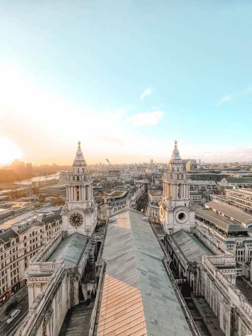
The itinerary often commences at St. Paul’s Cathedral, heading east toward Bank and the Royal Exchange, where visitors can find dining options before proceeding to Leadenhall Market. From there, walkers can visit the Sky Garden to enjoy panoramic views of the city skyline, though advance booking is essential due to high demand.

The path continues toward the Tower of London to view the Crown Jewels, crosses Tower Bridge, and proceeds to Borough Market for lunch. Walkers then trace the south bank of the Thames past Shakespeare’s Globe and the Tate Modern art gallery. Crossing back over Westminster Bridge brings pedestrians to the London Eye, Big Ben, the Houses of Parliament, and Westminster Abbey, before a brief walk leads to Downing Street.
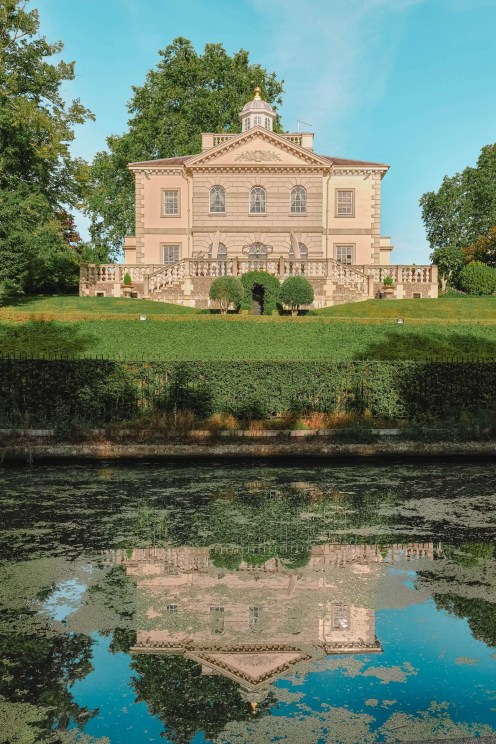
Entering St. James’s Park guides walkers out to the gates of Buckingham Palace. From there, the route moves toward Wellington Arch and turns east toward the Ritz Hotel, famous for its traditional afternoon tea service. The final stretch passes Piccadilly Circus, Chinatown, and Covent Garden, eventually following The Strand back to the starting point near St. Paul’s Cathedral.

4. The Thames Path
As part of a much larger 185-mile national trail originating in the Cotswolds, the London section of the Thames Path stretches toward Woolwich in East London. A favored segment among locals and tourists begins in Greenwich, encompassing the Old Royal Naval College, the Cutty Sark, the Painted Hall, and Greenwich Park.
Along the riverbank, the route passes historic sites such as the Mayflower Pub—celebrated as the departure point of the historic ship—as well as Tower Bridge, Borough Market, the Tate Modern, and the London Eye. Further west, the path reaches Battersea Power Station, which has been redeveloped into a modern hub for dining and retail. Walking continuously from Greenwich to Battersea takes approximately eight hours at a casual pace.

5. The Line Art Walk
Combining outdoor exercise with contemporary culture, The Line Art Walk is a shorter route focused around North Greenwich and the O2 Arena. The trail features various public art installations dotted along the Thames shoreline, including works such as The Hatchling, Liberty Grip, and Bullet from a Shooting Star.

In Stratford, walkers can view the ArcelorMittal Orbit and visit the V&A East Storehouse, a museum space that grants public access to museum vaults and active conservation work. Printable maps and digital guides are available to help visitors track the specific art installations along this East London route.

6. The Capital Ring Walk
Spanning roughly 78 miles, the Capital Ring Walk explores the outer boroughs and green spaces of London rather than the dense urban core. Transport for London (TfL) has divided the massive route into smaller, accessible sections, allowing visitors to join the path near their accommodations. Key highlights along the Capital Ring include the Olympic Park, the Thames Barrier, and Crystal Palace. Detailed route maps for each section are provided through official transport channels.

7. The Green Link Walk
Connecting Epping Forest in the northeast to Peckham in the south, the Green Link Walk traverses some of the capital’s prominent green spaces and urban parks. The itinerary takes pedestrians through London Fields, past St. Paul’s Cathedral and the Tate Modern, and concludes near Burgess Park in South London. This north-to-south traverse offers a diverse perspective on the city’s geography, with complete route documentation accessible online.

8. The Jubilee Walkway
Focusing primarily on the city’s royal heritage, the Jubilee Walkway is a 15-mile loop designed for visitors interested in British history. Spanning approximately two to three days of exploration, the route encompasses the Tower of London, the Houses of Parliament, St. James’s Park, and numerous other central landmarks. Official transport guides provide detailed breakdowns of the full loop and its individual segments, ensuring travelers can explore Central London’s primary historical sites at a comfortable pace.
Related News